Measured Surveys
These are one of the basics for the good outcome of any Project.
We are in the field of Data Collection and Production of Land Surveys, Building Surveys, Structures Surveys, Utilities Surveys, in general. Once the specifics of the information needed are established, we use a combination of technologies to gather it, and present it on the kind of deliverable the project specifics require.
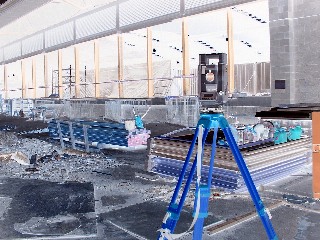
 The applications where the kind of Technology available to us can be used is wide, we can apply it to Archaeological Excavations, Mines, Preserved Buildings, using Remote Sensing, either LIDAR or Terrestrial Photogrametry.
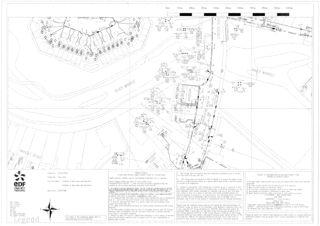 Utilities Desktop Surveys or Site Utilities Surveys, are part of the critical knowledge a Maintenance Team must have before carrying out excavations, or a Design Team must have before carrying out studies for the Redevelopment of a Site or when designing a Brand New Build.
We can provide Geopositioning for Flood Studies, Surveys for Asset Management Systems, Bridges, Tunnels, Services Infrastructure, and any kind of manmade structure or nature made structure using a variety of Technologies including Satellite Positioning Systems.
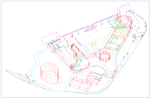
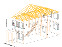
 The Output Format for this kind of information may be from the classic 2 dimensional paper format to full 3D digitalised models of the areas involved, having in mind the Clients requirements, there are many products we can offer, in between those two mentioned.